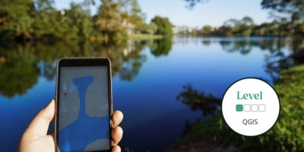
This beginner online QGIS course will teach you how to use the QGIS interface and begin to build, style, and present maps.
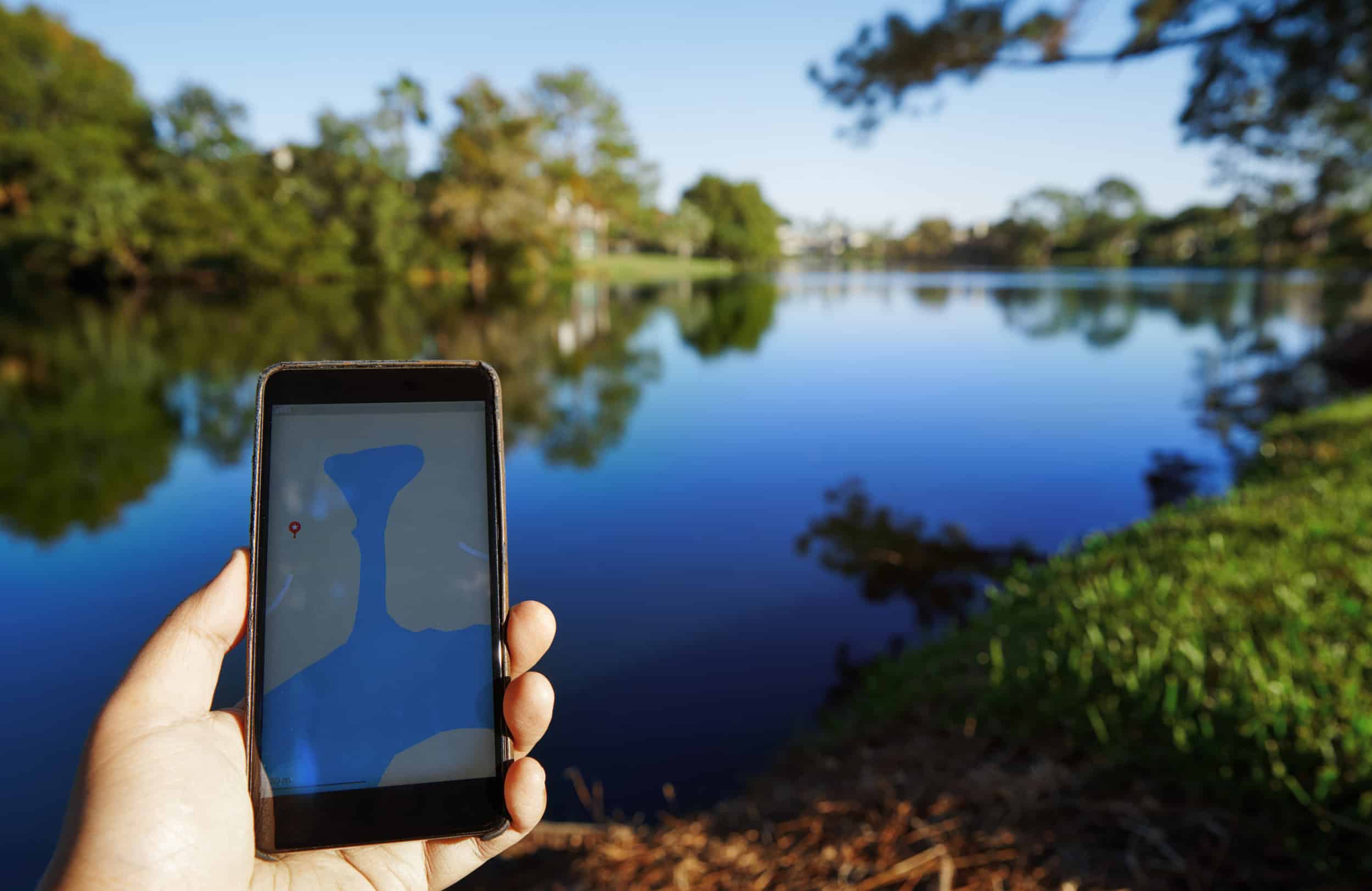
Geographical Information Systems (GIS) underpin much of our modern life, from navigation to social media. The ability to utilise GIS is becoming essential for many jobs, including ecologists, engineers, educators, emergency services, and many, many more.
What is covered in this course?
- Introduction to Using QGIS
- Building and Viewing Maps
- Sourcing and Styling Map Layers and Presenting Maps
- Creating New Data

Read More
In this course, we discover the basics of using QGIS in the context of environmental information. This course will take you through each step at an easy and accessible pace. With the support of our expert tutor, you will become confident with the QGIS interface, allowing you to build, style, and present maps
For this course, you will need QGIS software before the course starts. This software is free to download with the latest release is always available from the QGIS Home Page.
Please ensure you have a working version of QGIS before purchasing this course.
This is a 4-week online course covering 4 topics, for which you will complete a variety of self-led online study content, activities, assignments and live Zoom sessions. Time commitment is approximately 2-3 hours a week and an E-certificate is provided upon completion.
By the end of the course, you will be able to:
- Set up QGIS, navigate the interface, and use basic functions
- Understand and use vector and raster data, and different coordinate reference systems
- Change data styles present data in the most appropriate way and create a shareable map
- Create point, line, and polygon data as well as input GPS data
- Share this knowledge with friends, family, and fellow volunteers.
Bookings will close at 2 working days before the start date to allow for all participants to be enrolled to the online platform – bookings will not be taken after this time. Bookings will close sooner if course capacity is reached
Who Should Attend? – QGIS is a technical subject and we particularly recommend this course content for working professionals or career starters. We will be limited to the amount of remote IT support we can provide. Tutor interaction is limited to the Zoom tutorials and course forums.
Knowledge Level – Beginner. Level descriptors can be found on the following webpage: Framework and Course Level Descriptors
Prior Knowledge – A basic understanding of computer systems is needed for this course. This is a remote course designed for those who are happy in a self-led learning environment
Understand how our online courses are delivered.
Live Webinar Information
There are 4 webinars for this course, taking place at the end of each week. Please see the listing for the day and time.
Please note – webinars will be recorded and uploaded to the virtual learning platform for learners unable to attend.
About the Tutor
Flavia Occhibove
Flavia has always been passionate about wildlife and the beauty of the earth’s diverse ecosystems. This took her on a long academic journey, which included several aspects of ecological research, and culminated in a PhD investigating the relationship between biodiversity conservation and wildlife zoonotic diseases. Since she enjoys her nerdy side, she specialised in eco-epidemiological modelling and regularly uses QGIS for her research (as well as for her lectures to undergrads). She is a supporter of open-source software. Currently, she is looking forward to start her second postdoc, after a great three years at UKCEH.
Eleri Kent
Eleri is a PhD student with a background in landscape ecology. She is currently researching the effects of landscape context on woodland use by bats at Stirling University, as part of which she regularly uses QGIS for data manipulation, mapping and analysis. Eleri also has a background in outdoor education which led to an interest in teaching and outreach.
Example Timetable
Week 1: GIS03 - Introduction to Using QGIS
Self-study material available available at start date
Week 1 live webinar at end of week 1
Week 2: GIS04 - Building and Viewing Maps
Self-study material available after week 1 webinar
Week 2 live webinar at end of week 2
Week 3: GIS05 - Sourcing and Styling Map Layers and Presenting Maps
Self-study material available after week 2 webinar
Week 3 live webinar at the end of week 3
Week 4: GIS06 - Creating New Data
Self-study material available after week 3 webinar
Week 4 live webinar at the end of week 4
The final deadline to complete any outstanding activities and self-study components is 2 weeks after the final webinar
Time commitment: This course will require approximately 2-3 hours of your time each week. This includes covering course materials on our Moodle learning platform and the Zoom session.
What's Included
-
 Expert Tuition
The course has been carefully created to help you continue to build on your knowledge as the course progresses. With content crafted to the online Moodle Platform and bespoke to the Field Studies Council.
The course includes:
- 45-minute interactive Zoom workshops to connect with the tutor and other participants
- Personalised feedback on a marked assignment
- Expert tuition for which the Field Studies Council is renowned
- Activities to work on independently in advance of each Zoom workshop
Once registered, you will follow well-illustrated, user-friendly ’books’ to pick up knowledge. Quizzes and skill-checks will give you instant feedback on your learning. Forums give students the chance to interact with each other as well as a place to share work.
Bursaries and Subsidies
Student Discount
This course is eligible for a student discount. If you are a current student, please use discount code BioStudent20 at checkout for 20% off all Biodiversity courses.
Before You Attend
For this course, you will need QGIS software before the course starts. This software is free to download. The latest release is always available from this web page. Please ensure you have a working version of QGIS before purchasing this course.
Accessing Your Course
- Once you sign up you’ll receive an email at least 24 hours in advance of the course opening with details of how to access our easy-to-use platform, Moodle.
- Moodle can be accessed through a browser or an app.
- Webinars are via Zoom so you won’t need any new software to attend
Recommended Devices
It is recommended that you access your course through a PC or laptop. Please be aware that there will be reduced functionality if you decide to access the course through a tablet or smartphone. The Field Studies Council is unable to email content directly to you.
Opportunities to attend this course
-
Mon 06, May 2024 - Mon 17, June 2024
The webinars will take place on Mondays 17:30 pm – 18:15 pm on the following dates:
- Week 1: 13th May 2024
- Week 2: 20th May 2024
- Week 3: 27th May 2024
- Week 4: 3rd June 2024
-
Fri 06, September 2024 - Fri 18, October 2024
The webinars will take place on Fridays 7.00 pm – 7:45 pm on the following dates:
- Week 1: 13th September 2024
- Week 2: 20th September 2024
- Week 3: 27th September 2024
- Week 4: 4th October 2024
-
Mon 04, November 2024 - Mon 16, December 2024
The webinars will take place on Mondays 7.00 pm - 7.45 pm on the following dates:
- Week 1: 11th November 2024
- Week 2: 18th November 2024
- Week 3: 25th November 2024
- Week 4: 2nd December 2024
No current dates for this course? Click here to view all the upcoming Natural History courses.
Progress Your Learning
This is a training course from the Field Studies Council, delivered by expert tutors with an approachable learning style. After attending this course, you may like to progress your learning with further relevant courses or branch out into other areas of natural history. The Field Studies Council offers both online and in person courses, so you can choose the learning style that suits you best.
The course gives you the opportunity to immerse yourself in a new subject and acquire novel skills. Our online portal gives you time to study at your own pace and fit the lessons around your own schedule.
If you have any questions about our online courses please check our Frequently Asked Questions
Please email [email protected] if you have any questions.
Group Bookings Made Easy
If you have a group of 10 or more individuals wanting to complete one of our courses, our team are available to discuss your options – from discounts to private team courses. Find out more!
You can rest assured that the absolute best content from an expert in environmental education will be at your fingertips. In choosing a Field Studies Council course, you will be joining thousands of people who learn with us each year.